Govero Land Services, Inc. provides professional land surveying and civil engineering services.
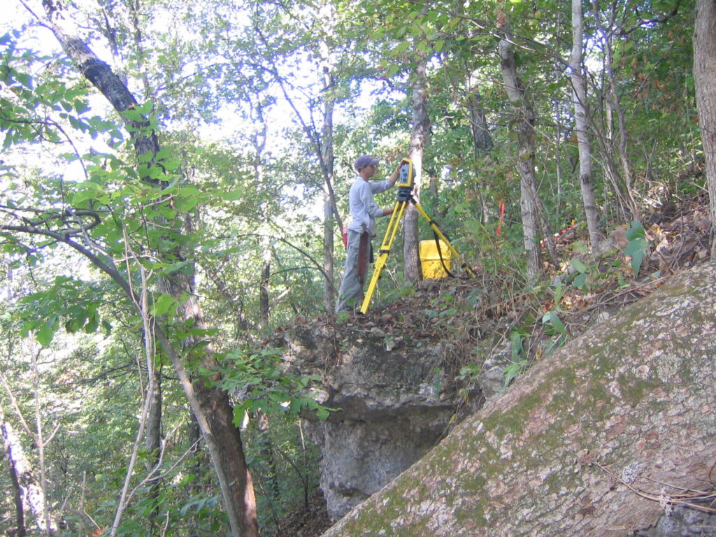
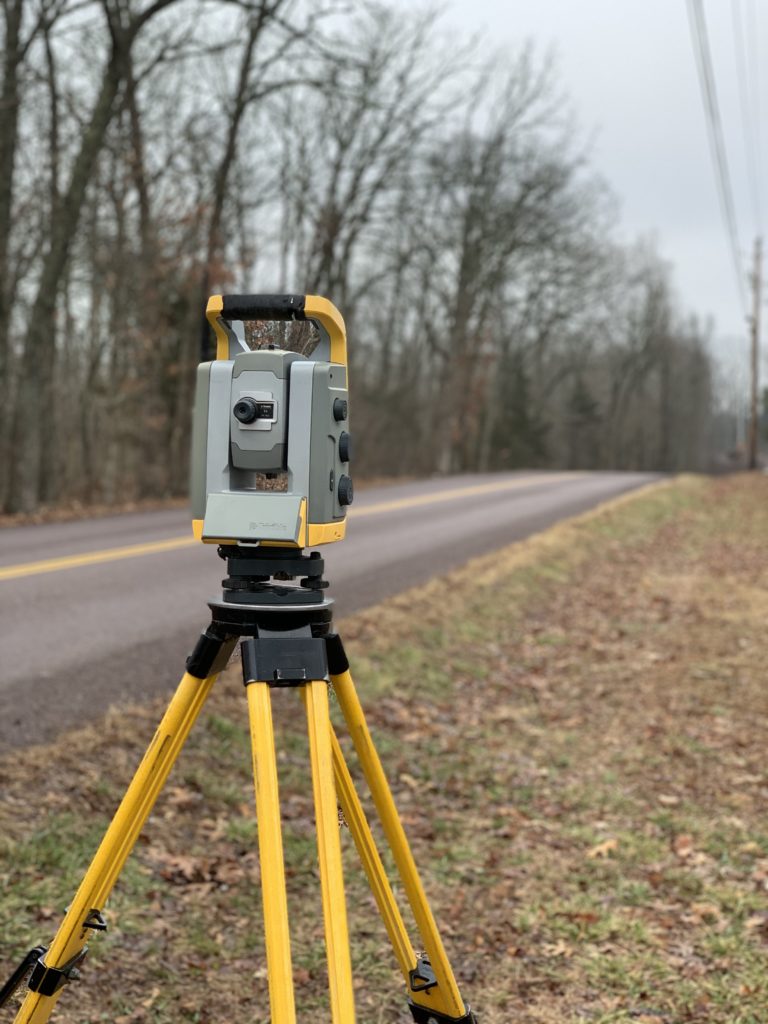
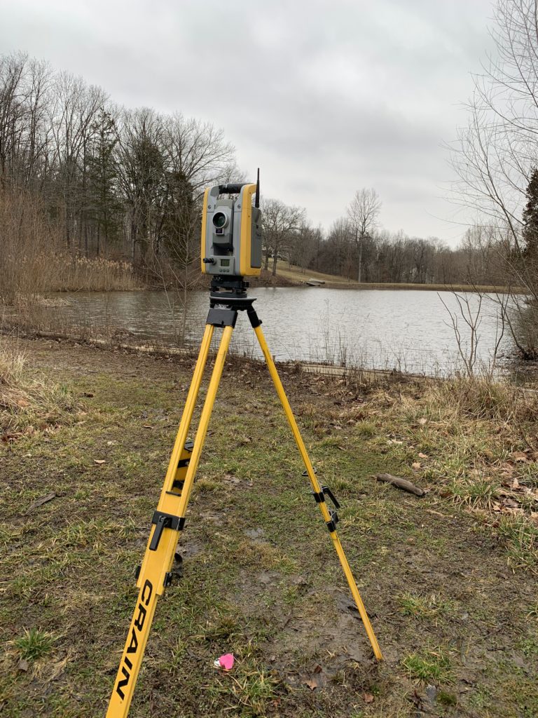
Surveying
We have worked in areas of Ste. Genevieve, downtown St. Louis, Fort Leonard Wood, St. Louis County, Franklin County, and Jefferson County (where 98% of our work is done). Our clients include a wide range of individuals, corporations, municipalities, architects, banking institutions, colleges, schools, and churches. Shown below is a list of various types of surveys we perform.
Boundary Topographic ALTA/ACSM Surveys Utility Easements
Subdivision Plats Cadastral Surveys Site/Utilities Construction Surveying
Engineering Surveys Aerial Photography Mapping Record Plats
As-Built Plans Sketches Legal Descriptions
Land Planning
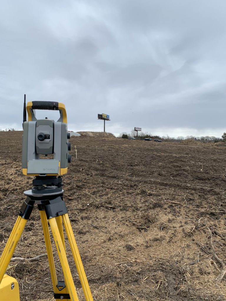
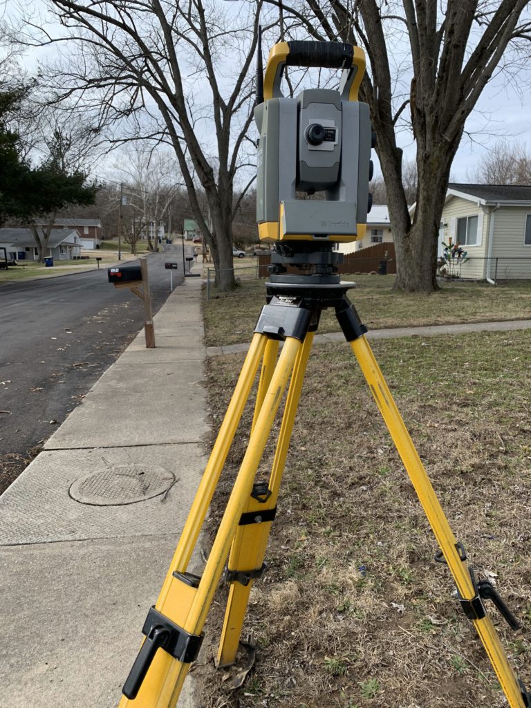
Govero Land Services provides Civil Engineering services needed for developing the infrastructure of a project. With our expertise in Planning & Zoning, Municipal Codes, Utility and Environmental requirements, we are able to meet the needs of the Developer while complying with all Municipal and State regulations. With our RTK GPS and Robotic Total Stations we are able to communicate from our instruments to our computer and back for efficient and accurate information.
Rezoning
Prepare documents, attend meetings, and confer with staff and owner in the preparation to rezone property for uses desired. Attend public hearings, and present documents and purposes at hearings and public meetings.
Land Planning – Residential, Commercial & Industrial
Meet with client and/or architect to discuss development plans. Prepare maps with existing conditions, surrounding land uses. Prepare a conceptual design and review with client. Meet with Planning Officials and regulatory utilities to discuss feasibility of development and areas of concern. Prepare final preliminary plan for approval by agencies.
Site Development
With our years of experience and knowledge of how to utilize the land for its best use, we can accomplish your goals with a cost effective plan. We have experience with various kinds of plans from Subdivision of Land for residential to small Shopping Centers to Roads and Large Scale Properties. We have completed Banks, Daycares, Strip Centers (large & small scale), Road Projects, Grocery Stores, Auto Repair Facilities, Storage Complexes, etc.
Residential Subdivision Design
From concept to final record plat we can complete Development Plans through all phases. With our years of expertise we can prepare cost efficient plans that comply with all agencies and preserve as many existing features of land as possible.
We complete grading, storm sewers including storm water detention, sanitary sewers, water, roads and erosion control plans as necessary to achieve the desired end results. Our survey crews can provide efficient, accurate stake out of all infrastructures as necessary to complete project.
Commercial Site Plans
With our many years of experience and various types of Site plans, we understand and can provide an efficient site plan to meet the customer’s needs for a plan approval. We have worked on many types of sites in various communities giving us experience to complete plans while meeting clients and agencies expectations.
Engineering
Our ability to analyze various projects and provide cost effective solutions enables us to provide the engineering services necessary to our clients and their projects.
Land Use Planning Grading Design Subdivision Design Storm Design
Sanitary Sewer Design Street Design Utilities Design Flood Studies
Parking Lot Design Hydrology Permitting (Local, State and Federal)
Storm Water Detention & Management
Road Design
We have experience from renovating existing roads to design of completely new roads along with infrastructure to support the roads.
Hydrology
Utilizing the latest software we have the ability to perform advanced calculations to determine pipe sizes, detention basin sizes and overflow structures to accommodate regulatory rules.
Flood Studies
Using the latest software we have the ability to study water sheds to determine areas of flooding during certain rain intervals.
FEMA
Elevation Certificates – Our crews acquire accurate elevation information from the field, and we prepare the FEMA Document showing the Base Flood Elevation along with other required elevations needed to determine if a property is actually in a flood plain.
MT-1 Forms
These forms can be prepared in addition to the Elevation and submitted to request that a property or portion of property be removed from the flood plain.
SWPPP (Storm Water Pollution Prevention Plan)
The Storm Water Pollution Prevention Plan (SWPPP) is an Erosion Plan that is required by City, County and DNR in order to obtain approval.
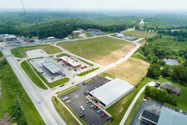
Aerial Photography & GIS
Govero Land Services now offers aerial photography utilizing the latest in aerial photogrammetry technology to gather topographical information to be used in the planning and design of a site. Utilizing our DJI Phantom drone and Pix4D software, we can accurately locate and map a topographical survey of the existing conditions of your site. That information is then provided to our engineering department to be used in site design, subdivision layout, and more.

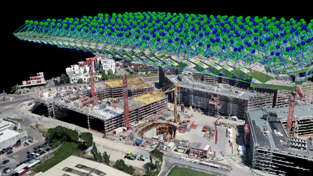
Govero Land Services has also teamed up with M.J. Harden, a GeoEye Company, to acquire and produce digital aerial imaging of the highest quality for the Jefferson County area.

This imagery is used to produce Topographic maps which are scale accurate and utilized when designing Site Development Plans.
For further information on Aerial Topography please visit M.J. Harden’s website at: